Nature
Juba River
The broad lower Juba flows past the town, lined with farms and riverside trees.

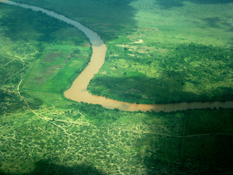
A riverside farming town on the east bank of the lower Juba, just north of the equator, surrounded by maize fields and the green belt of the Juba valley.
Jamaame lies on the eastern bank of the lower Juba River in Lower Juba region, about 50 km north-east of Kismayo and just a few kilometres north of the equator. It is the seat of Jamaame District.
Encyclopaedia Britannica describes it as an important agricultural, commercial and industrial centre of the lower Juba. The area north of the town is one of the wettest in southern Somalia, and irrigated and flood-fed fields stretch along the river.
The broad lower Juba flows past the town, lined with farms and riverside trees.
Fields of maize and other crops spread out on both sides of the river, greenest after the rains.
In the Italian colonial era the town was known as Villaggio Regina Margherita, later shortened to Margherita; the Italian form Giamama is also recorded. As elsewhere in the lower Juba valley, the fertile riverbanks have long supported farming communities, and before 1991 large banana plantations lined the river.
Jamaame's community includes Somali Bantu (Jareer) farmers who have cultivated the Juba riverbanks for generations, alongside pastoral Somali clans. Village life follows the farming calendar of the Gu and Deyr rains.
Farming is the backbone of the local economy. Maize, sesame, fruit and vegetables are grown along the river, and the town is a market for the surrounding villages, with close trade links to Kismayo.